Map at scale of 1 inch to 100km which shows the coastal mountainous regions within the north coast of Indonesia, with a small portion of Papua New Guinea towards the far right as separated by a vertical dotted line to mark the border between the countries. There are a couple of small lakes in sight as indicated by dotted patches, with one towards the Mamberamo River delta towards the top-left of the map, and Lake Sentani north of the Nimboran Mountains at the eastern border of Indonesia. Areas such as the Foja Mountains, Nimboran Mountains, and Cyclops Mountains of Indonesia as well as Mount Bougainville and Bewani Mountains of Papua New Guinea are shaded in grey to mark land above 200 metres. There is also a note on the map which cites, ‘141st meridian’.

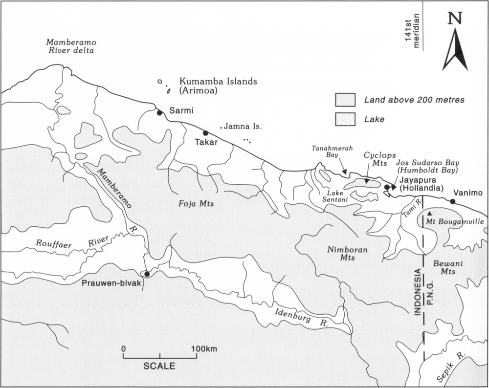
204Figure 42: The north coast of New Guinea from the Mamberamo River delta to the border with Papua New Guinea.